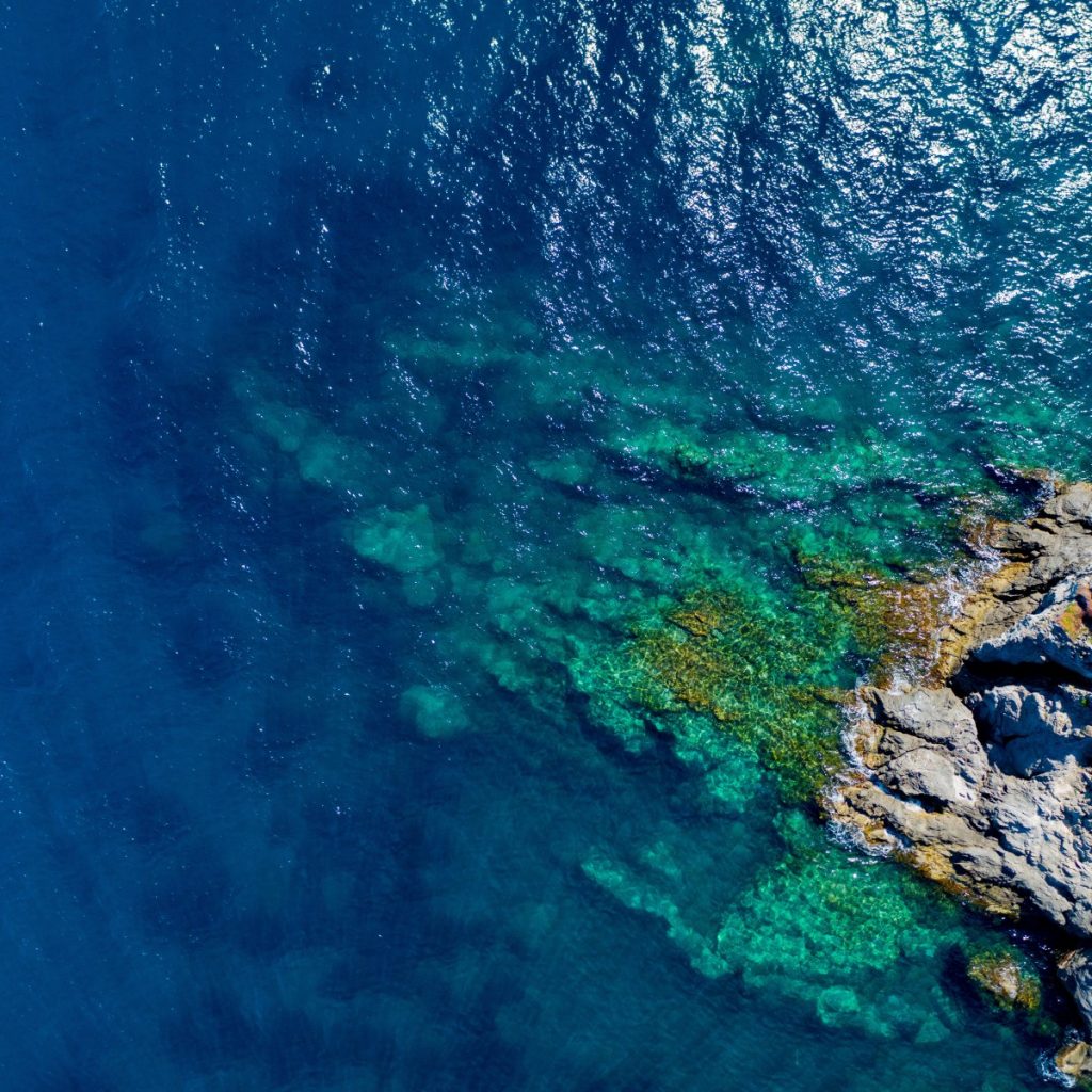
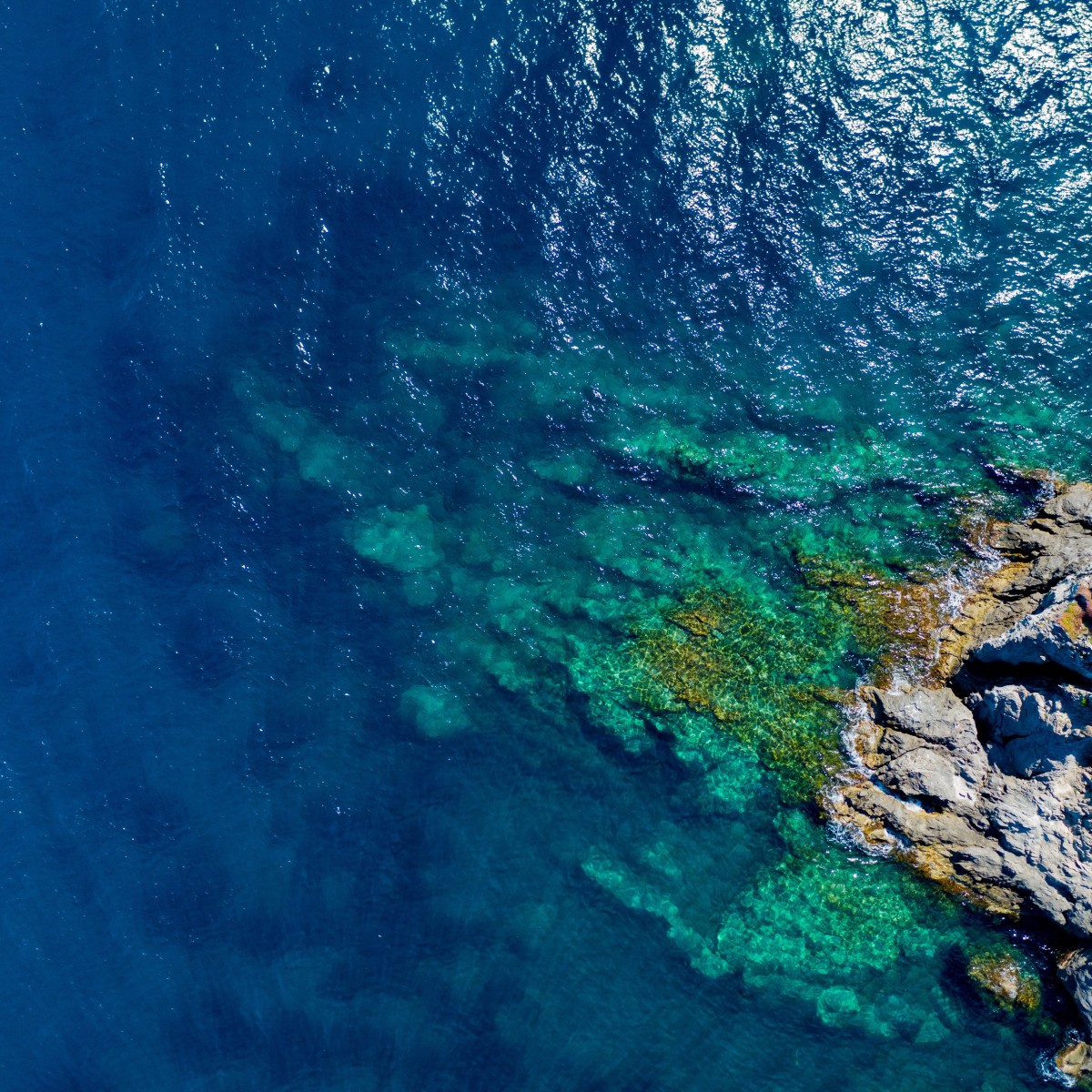
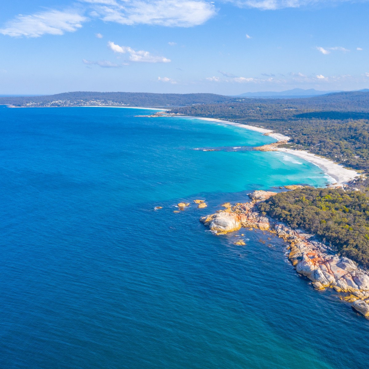
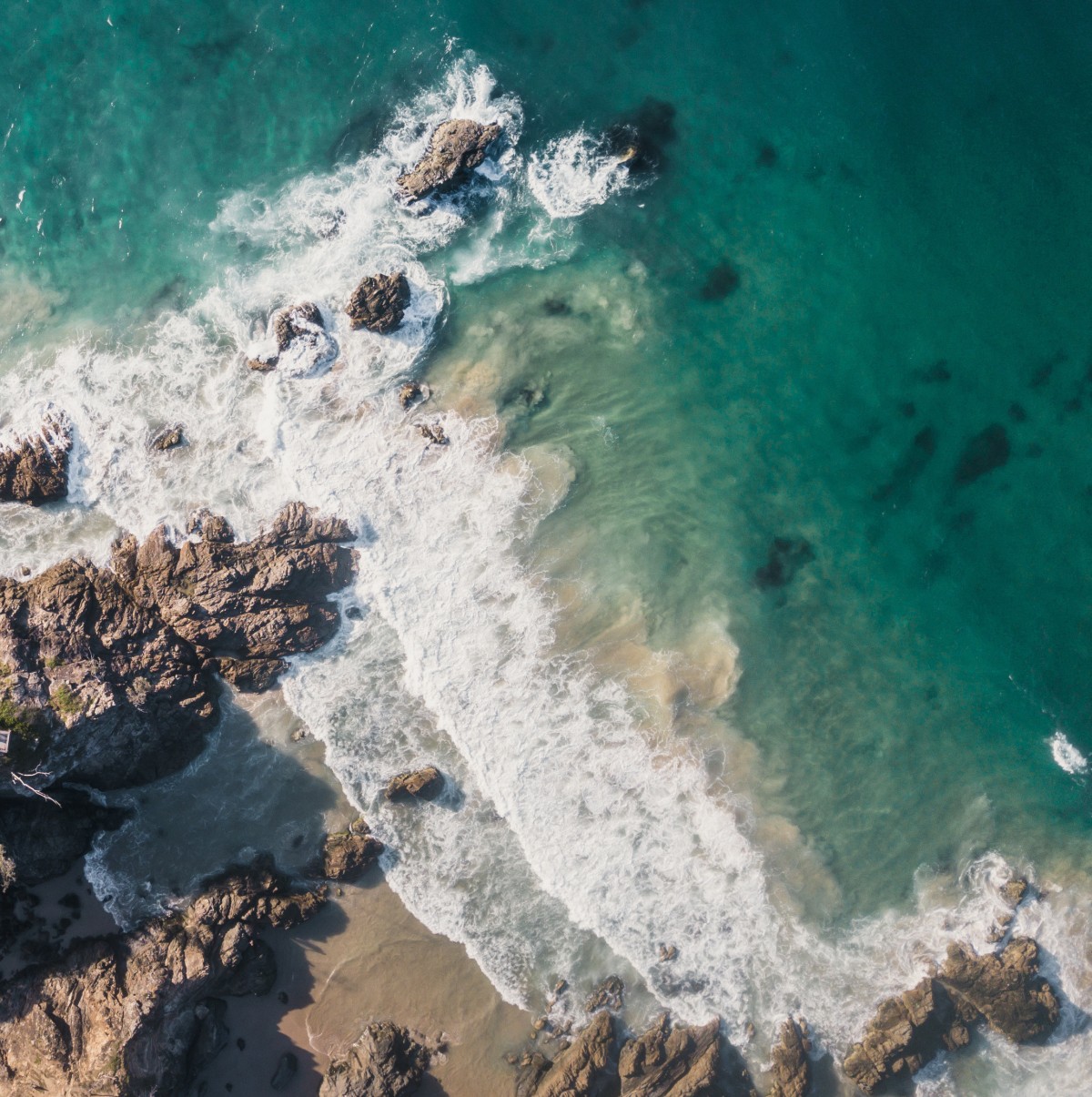
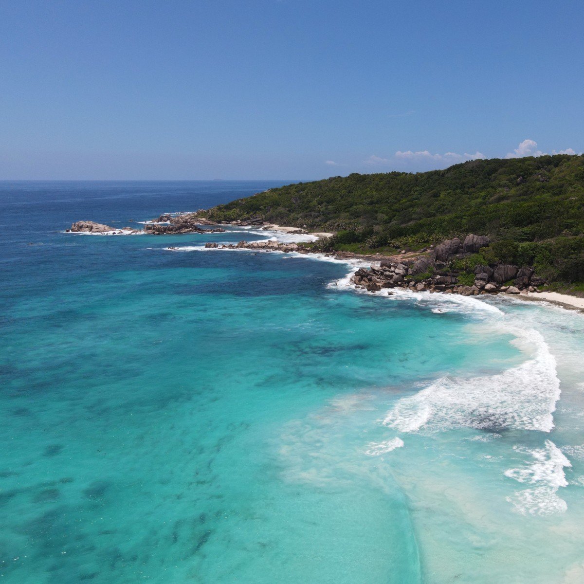
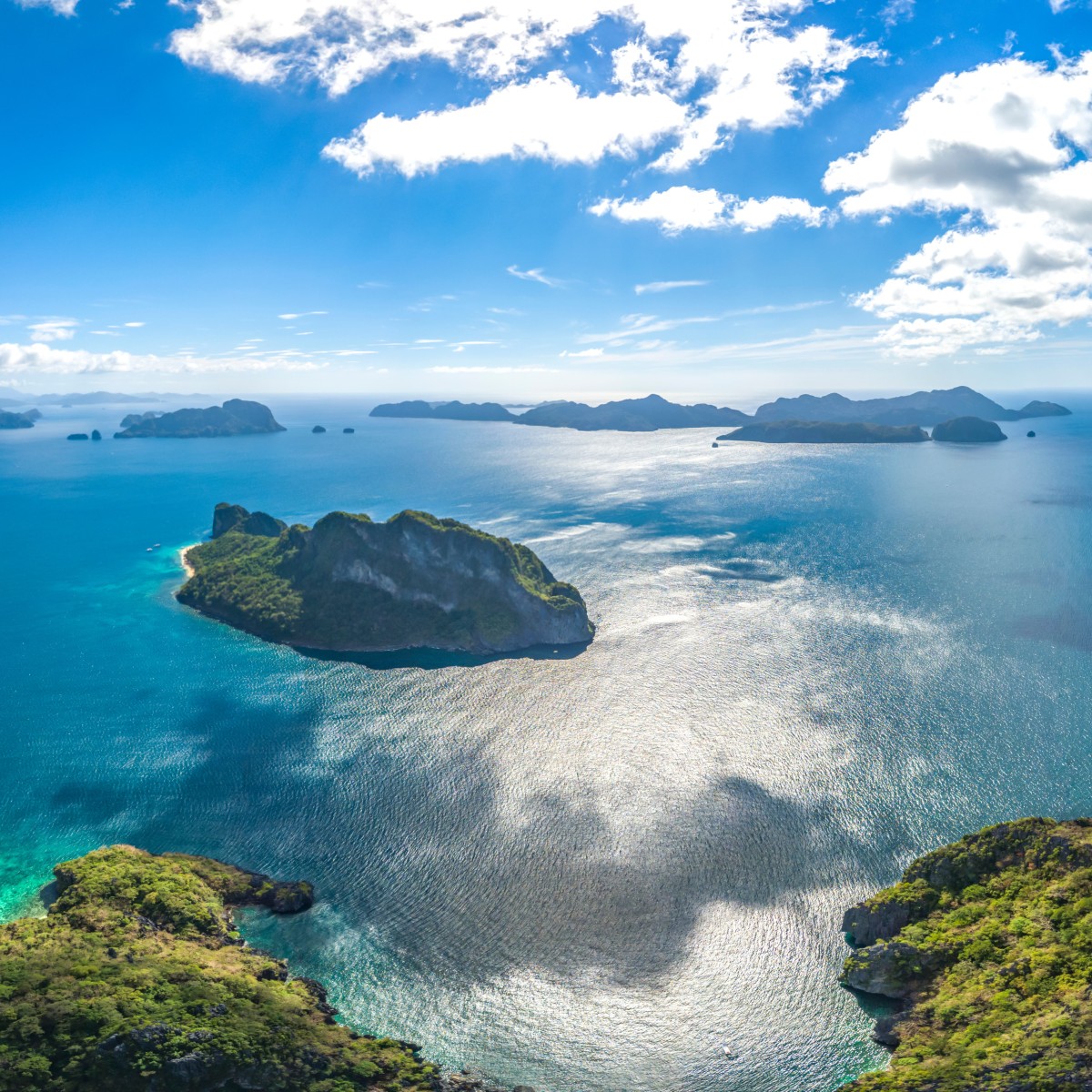
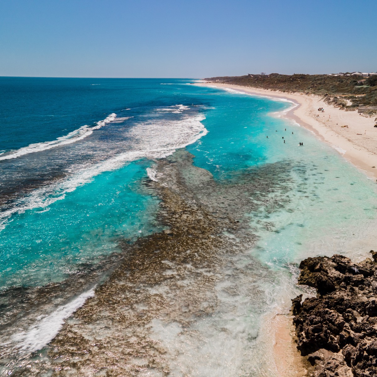
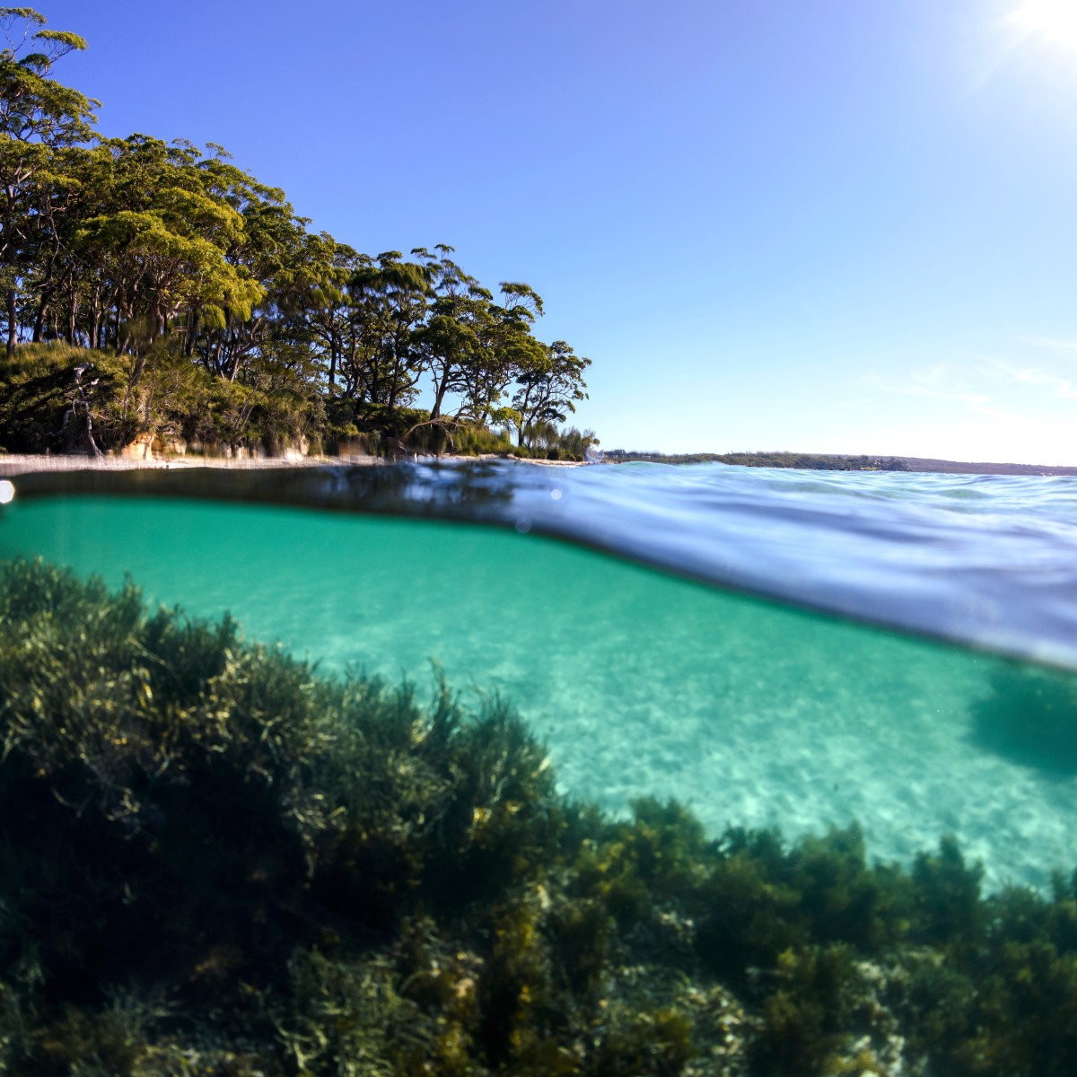
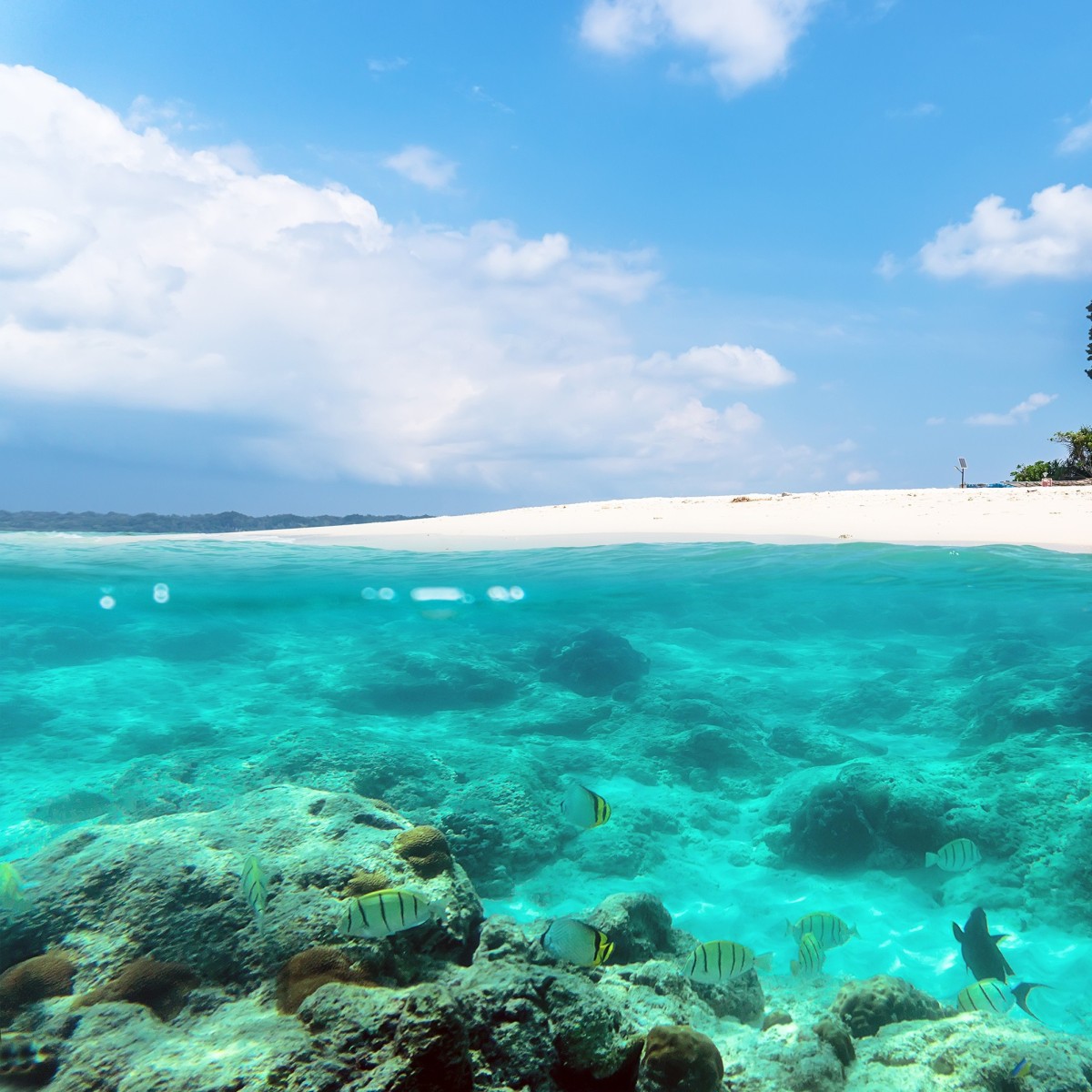
The Nearshore System extends from the upper limit of the intertidal zone (Highest Astronomical Tide – HAT) to the 30 m depth contour (as chart datum). As stated in the CMEC Standard (FGDC 2012), the 30 m depth contour was selected as a useful cut-off between shallower nearshore and deeper offshore waters. It is intended to represent an ecologically significant depth to which water column and benthic processes are strongly coupled. Surface currents and waves impinge the bottom at the storm wave base (Keen and Holland 2010) and vertical circulation generally distributes nutrients and sediments throughout the water column. The photic zone extends through the entire water column except in extreme cases (Kleypas et al. 1999). The presence of nutrients and light support the growth of vegetation on the seafloor including seagrass and macroalgal beds, and 30 meters generally represents the depth to which most living coral is found.

